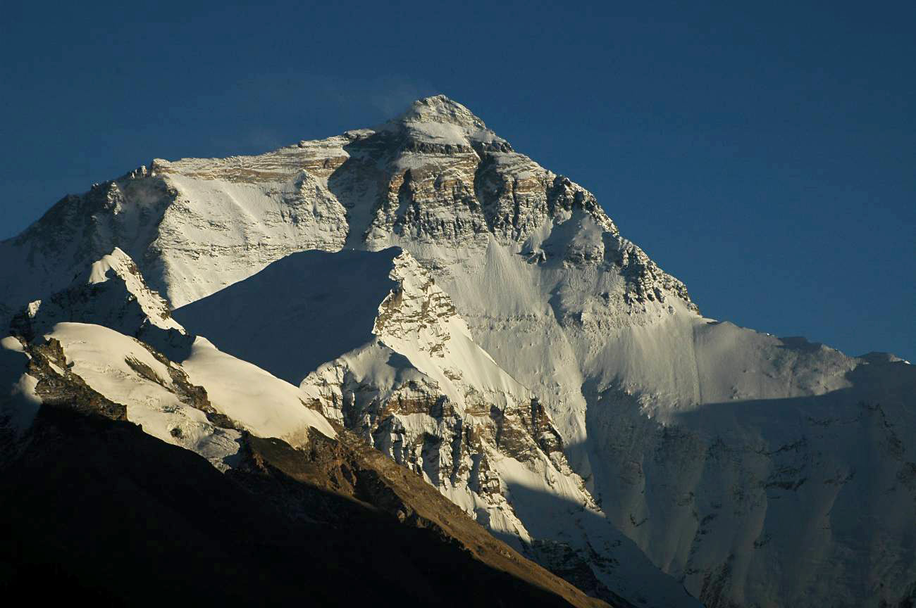
 So I was reading about Mount Everest today because, umm...I can, and apparently we still don't know "for sure" how tall it is. Right now our best guess is somewhere between 29,017 and 29,035 feet above sea level.
Some guy in 1999 did the logical thing and attached a GPS to the bedrock and obtained a height of 29,035 feet. You would think that would close the door on the issue, but apparently it didn't. In 2005 another survey team claims they took the most accurate measurement ever coming in at 29,017 feet. People protest both of these measurements claiming uncertainties in the geoid (essentially, where the average sea level is) that was used. I guess if you don't know where sea level is, then it's probably pretty hard to figure out how far away from it you are!
From what I could find, Nepal says the official height right now is 29,029 feet. However, the measurement from 1999 of 29,035 feet is widely quoted as well, but is not yet officially recognized by the Nepali government.
1 comment:
29,029 is a nice symmetric number--we should just keep that one
Post a Comment